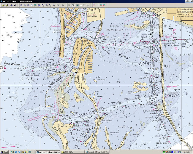
The concept of nautical charts is very closely associated with astronomy. Nautical charts or shipping charts as they are sometimes called are basically navigation charts that are used by the mariners at sea. Nautical charts are a graphic representation of a maritime area. They also represent the coastal regions that are surrounding this area. It shows the depths of the water in the area. It shows the heights of the land and the topography of the area.
The natural features of the area are also clearly shown in the nautical charts. They give details of the areas where there are hazards and must be avoided. They show the location of natural and manmade aids. It will also give you information on the tides and currents. The details of the Earth’s magnetic field are also clearly mentioned in these nautical charts. The harbors and bridges are also clearly mentioned in these nautical charts. These charts can be on paper as well as on a computer. Each ship is provided with both the forms of the nautical charts. These help the mariners to understand where they exactly are and how they should proceed. These are very detailed as well as informative at the same time.

Who Makes Nautical Shipping Charts?
The nautical charts take experts to make. They have to be updated from time to time. This is mainly because these features that we have mentioned keep changing with time. A single mistake or wrong information on the nautical charts can be very dangerous. This is exactly why the nautical charts are printed by the hydrography offices of the country. They are prepared based on the results of the hydrographic surveys. They may be copied by others and used.
International Hydrograhic Organization
You must download the nautical charts from a reliable source only. There is an International Hydrographic Organization that collects the data from the entire local Hydro graphic Organizations and based on their reports the international nautical charts are prepared. The job is tiring as well as a critical one. The mariners are advised that they should always download the latest nautical charts as this will ensure that they have all the updated information. The nautical charts must also contain the list of the information that was updated. If the nautical charts are not in the updated form they may give wrong information that can be fatal for the ships and the mariners.
Nautical Charts in Shipping
The mariners are trained on how to download and study the nautical charts. They must understand the map well in order to decide the course. The captain of the ship along with other navigation officers analyzes the nautical charts before a critical decision is to be made. The nautical charts are labelled and the important points are marked out. This helps in position fixing. It can be done manually. Nowadays even automated computerised programs are used to do the nautical charts labelling.
Colours in Nautical Charts
This ensures that a proper decision can be taken regarding the course of the ship. The nautical charts usually use symbols to depict the various features. For example ED is used if the geographic location’s existence is doubtful. The nautical charts also make good use of colours. The mariner must know the meaning of all these symbols and colours that are used in the nautical charts. The depths are the heights in the nautical charts are represented in meters.
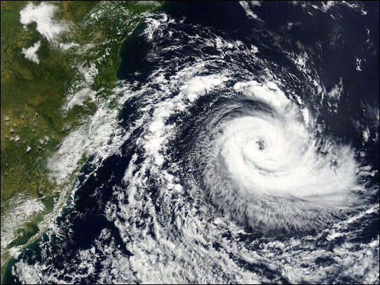
In some nautical charts that the United States publishes feet is used to denote the depth and height. The nautical charts also indicated the highest and the lowest tide that the ship can experience in that particular area. This is used to prepare the ship and the crew for a bad weather. The tidal cycles are also represented in the nautical charts with the help of tidal diamonds. There are symbols used to depict dangerous water locations. These are the locations that must be avoided as much as possible especially is a bad weather.
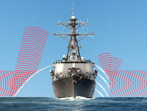
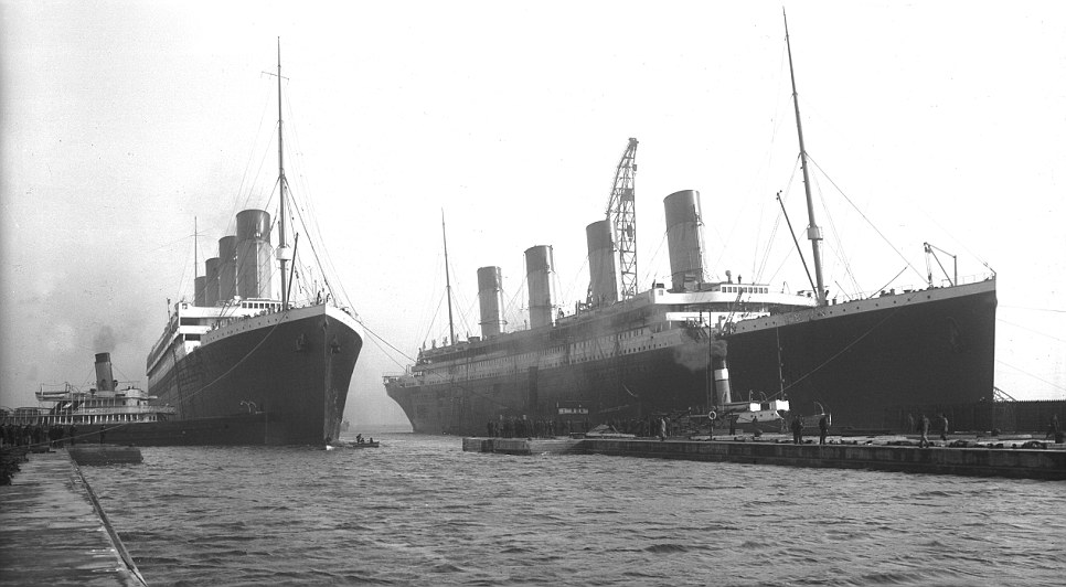
Nautical charts are used by all types of ships and even submarines. Private boats also use the nautical charts at times. However, it needs some practice to understand the nautical charts completely. The mariners will tell you from their experience that the nautical charts are good. However, they cannot be accurate all the time. They are bound to be incomplete.
We hope this brief article on what are nautical charts will help you to understand the importance of the nautical charts. It is a very good guide. It is like a water map. Even the experts when out in the sea may make mistakes. These nautical charts can be a great help and a life saver in many cases. These nautical charts have saved many lives in the sea. It is just unbelievable that the nautical charts are so detailed and accurate at the same time.
What Are Nautical Charts?,


